
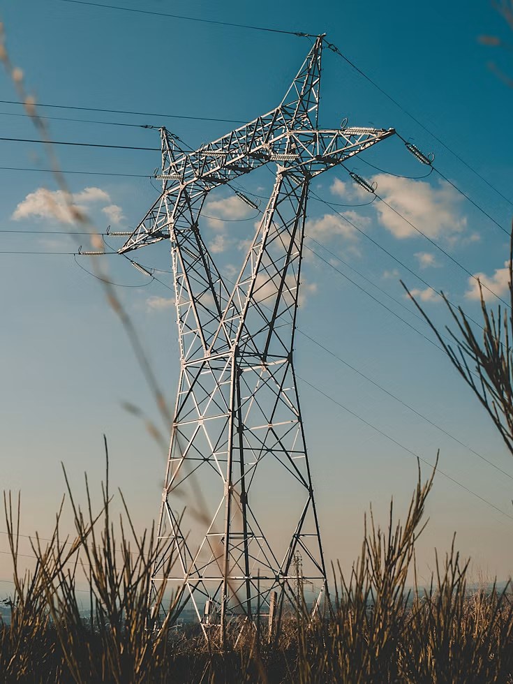
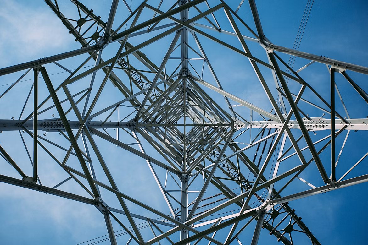
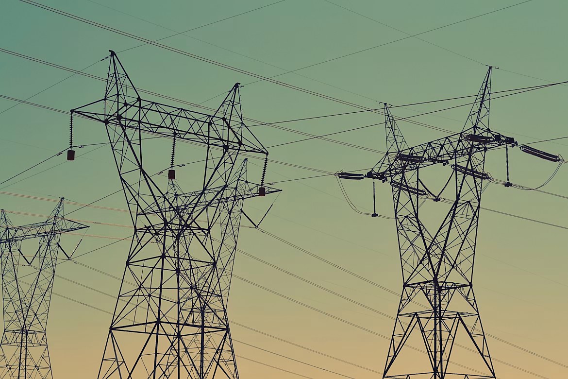
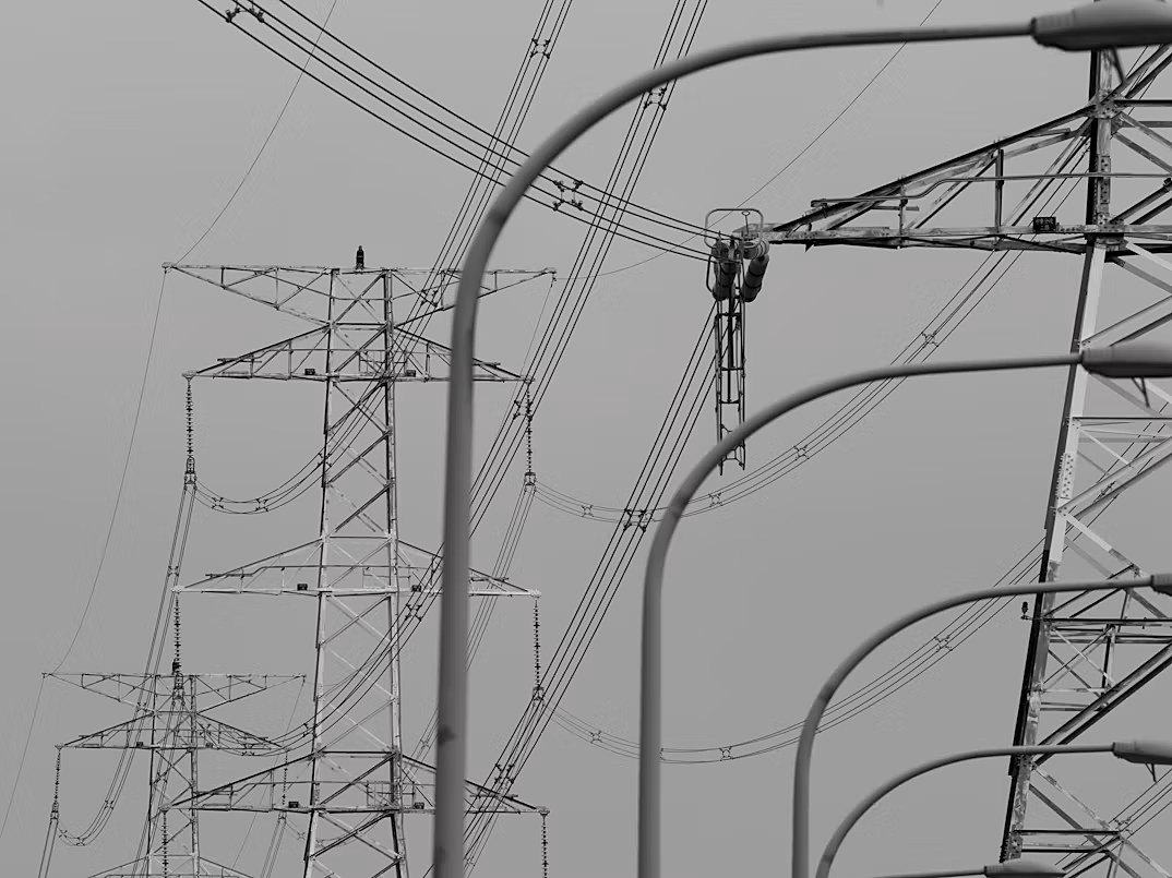
Smarter Inspections.
Safer Transmission.
See the grid before it fails.
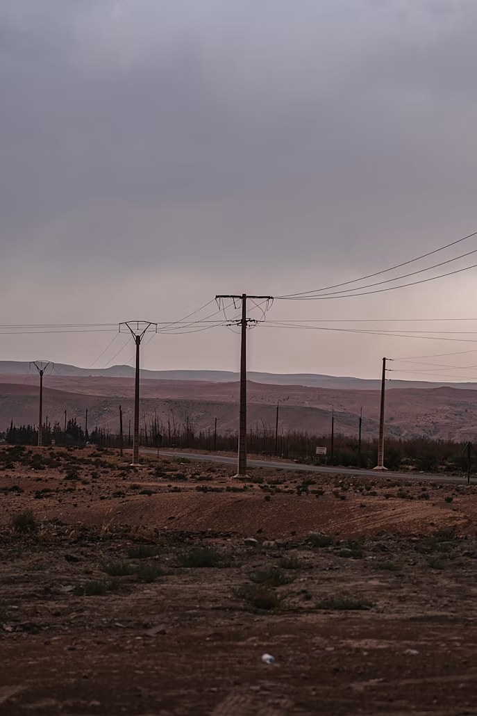
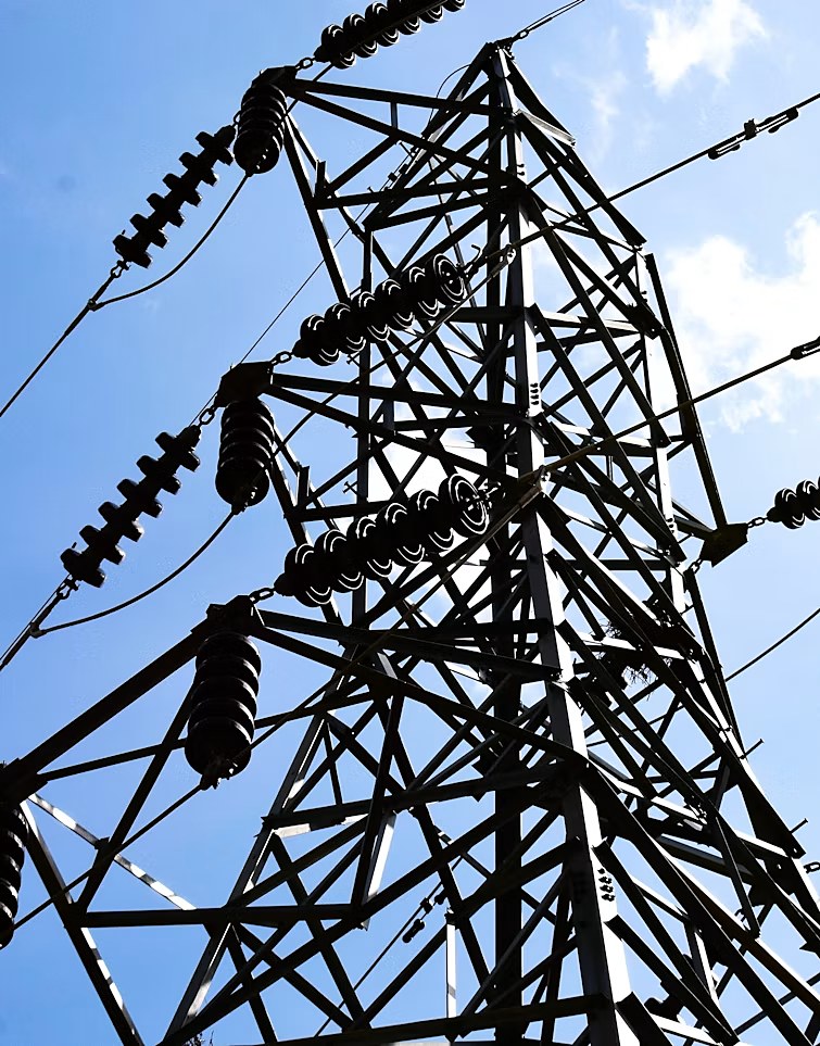
Drone-based RGB and thermal inspection of high-voltage transmission corridors — every tower marked, measured, and reported from one platform.
See how it works →One flight, two ways of reading a tower — what you can see, and what you can't.
Pilots capture RGB and thermal imagery in the field. Every photo is matched to its exact tower by GPS, marked up for defects or hotspots, and rolled into a report — without ever leaving the platform.
Two ways to see a tower.
Every tower is captured on both channels — one surfacing physical damage, the other surfacing heat nothing else would catch.
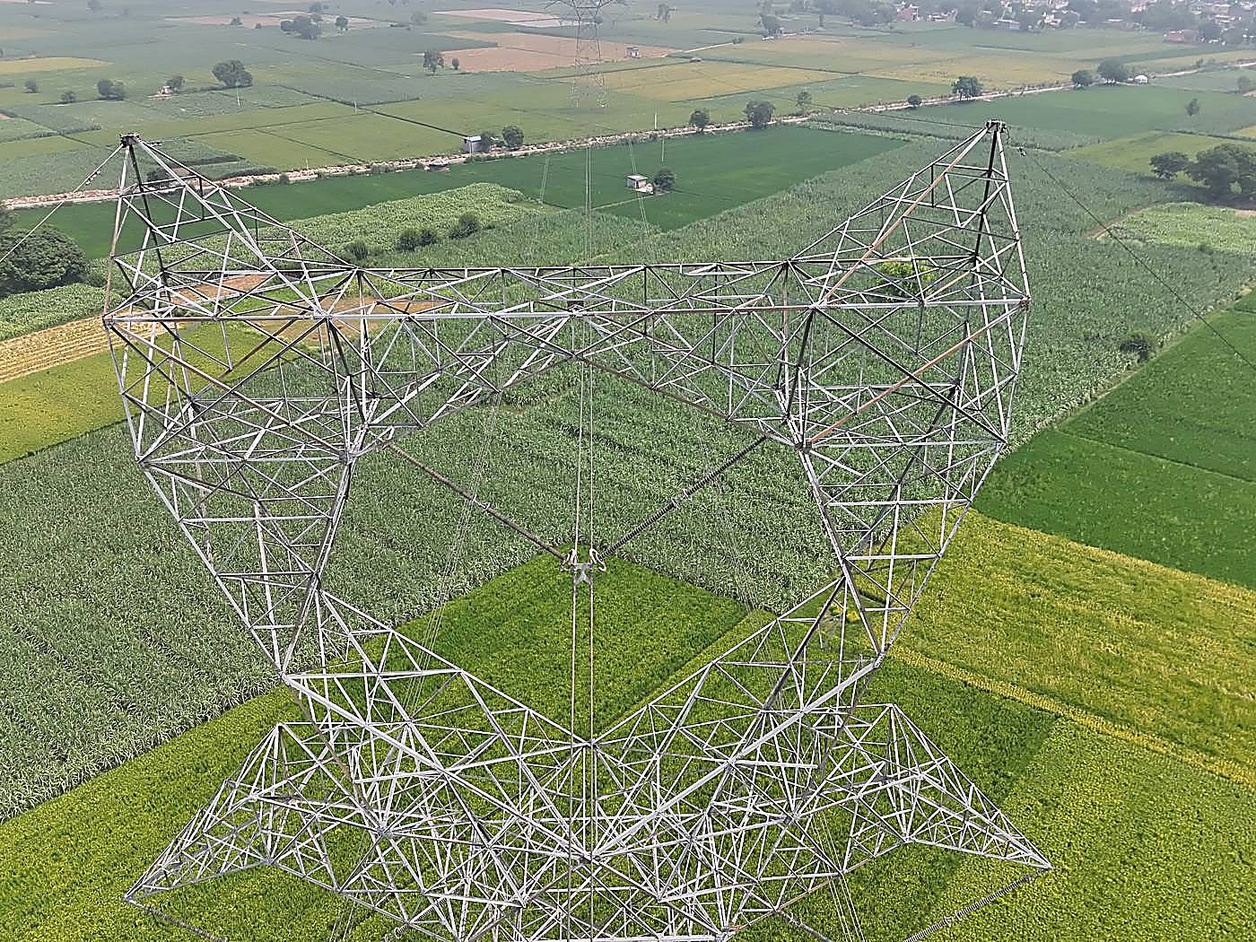
RGB Inspection
High-resolution imagery of every tower. Corrosion, cracked insulators, missing hardware, and structural wear — marked directly on the photo with component, severity, and status.
Log in to inspect →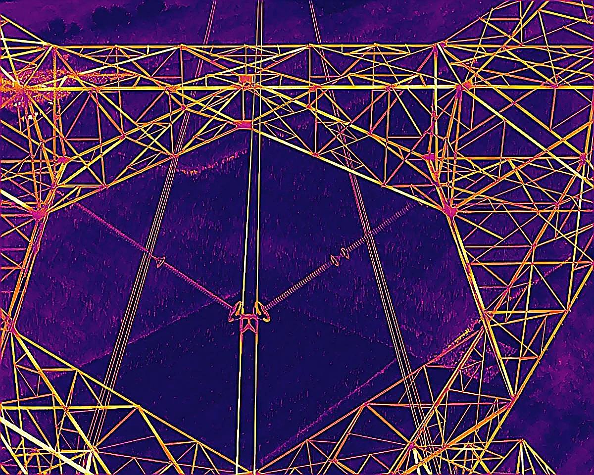
Thermal Inspection
Real radiometric temperature readings, not just a heat-mapped photo. Point, rectangle, or line measurements with adjustable emissivity and ambient conditions — flagging hotspots before they become failures.
Log in to inspect →From drone to report,
without leaving the platform.
Everyone on the inspection sees exactly what they need.
Admins manage projects and generate reports. Pilots get routed to each tower and mark it done in the field. Remote experts inspect assigned lines without ever touching an upload button. Clients see results the moment a tower is signed off — nothing before.
Sign in to your inspection workspace.
Admin, Pilot, SME, or Client — one login, scoped to what you're there to do.
Login →Have a project in mind?
Send a quick note and we'll get back to you — no account needed.